1. CHOOSE YOUR START
TWO OFFICIAL ROUTES TO ISLE-AUX-COUDRES
Both routes lead to the Saint-Joseph-de-la-Rive ferry terminal and then use the same landmarks on Isle-aux-Coudres. Businesses and lodging remain points of interest; they never alter the supplied route stops.
LA MALBAIE → ISLE-AUX-COUDRES
The scenic option through Les Éboulements and Saint-Joseph-de-la-Rive, with the supplied “avoid highways” setting preserved.
- La Malbaie
- Les Éboulements
- Saint-Joseph-de-la-Rive ferry
- Chemin de la Baleine and chemin des Coudriers loop
QUÉBEC CITY → ISLE-AUX-COUDRES
The longer option from Québec City through Rivière-des-Roches and Saint-Joseph-de-la-Rive before the same island loop.
- Québec City
- Rivière-des-Roches
- Saint-Joseph-de-la-Rive ferry
- Chemin de la Baleine and chemin des Coudriers loop
2. TOURING GPS MAP
ROUTES, FOOD, LODGING AND SERVICES
Choose the starting point, then filter the places. The orange geometry follows real roads; Google Maps remains the reference for live navigation.
3. ROUTE LANDMARKS
THREE MOMENTS THAT SHAPE THE RIDE
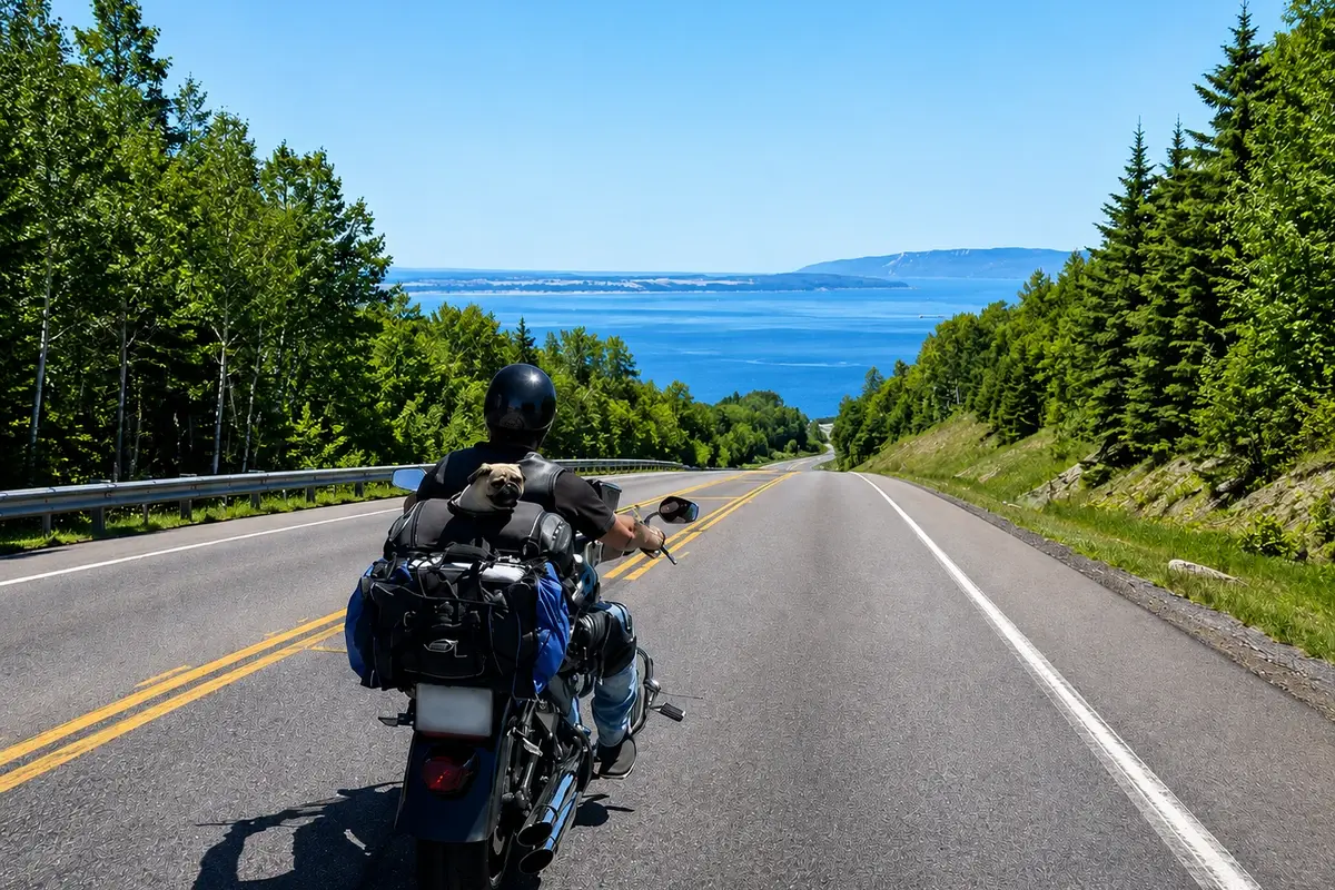
ROUTE DU FLEUVE
From La Malbaie, the route through Les Éboulements reaches Saint-Joseph-de-la-Rive and its wharf.
CHOOSE YOUR START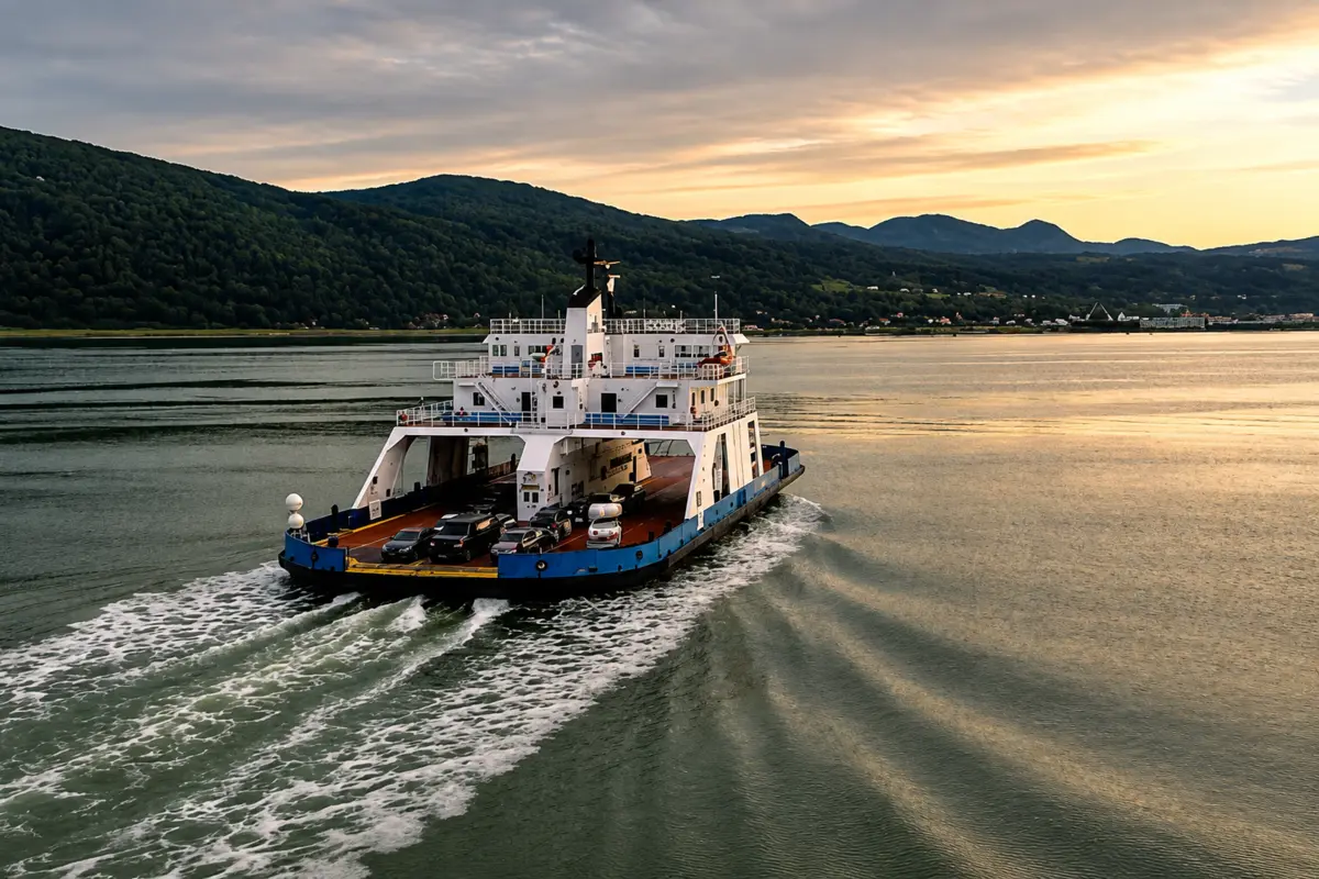
THE CROSSING
The ferry is part of the trip. Leave a reasonable margin before boarding and check the STQ schedule.
CHECK STQ SCHEDULE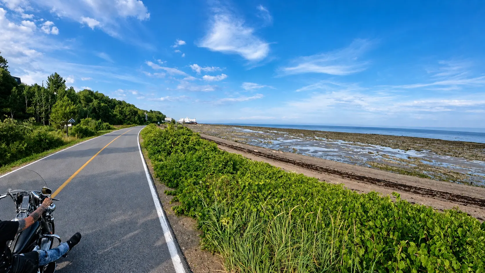
THE ISLAND LOOP
The supplied stops follow chemin de la Baleine and chemin des Coudriers before returning to the ferry terminal.
VIEW ON MAP4. TRAVEL WITHOUT SURPRISES
PRACTICAL RULES FOR THIS MOTORCYCLE ROUTE
“Dogs accepted” appears only when an official source supports it. Confirm fees, units and restrictions when booking.
Le Centre Honda Charlevoix in La Malbaie officially lists motorcycle maintenance and repairs. Call before visiting.
Several island restaurants and campgrounds are seasonal. Published hours never replace a same-day check.
- Check Québec 511, weather and wind before leaving.
- Reach the ferry terminal with a reasonable margin.
- Fuel before the loop; Épicerie Chez Paul also provides a gas station.
- Carry water, a bowl and plan shaded breaks for your dog.
- Confirm every restaurant patio and lodging pet policy.
- Do not add businesses as Google Maps route stops; they remain optional detours.
5. FAQ
ISLE-AUX-COUDRES ROAD TRIP QUESTIONS
Can I start in La Malbaie or Québec City?
Yes. This page preserves two separate route options. Select the correct Google Maps button and the same option on the interactive map.
Is the ferry required?
Yes. Road access to Isle-aux-Coudres uses the Saint-Joseph-de-la-Rive ferry. Check the STQ schedule before leaving.
Where can I stay with a dog?
Camping du Ruisseau Rouge and Hôtel du Capitaine publish pet-friendly policies. Confirm fees, unit and restrictions directly before booking.
Do the restaurants accept dogs?
Indoor and patio policies are not clearly published for every restaurant listed. They are therefore marked “confirm directly,” without a promise.